21.05.2026 01:40
The Persian Gulf Waterway Authority, established by Iran to control maritime traffic in the Strait of Hormuz, has declared the strategic areas between Mobarak Mountain and South Fujairah, as well as Qeshm Island and Umm Al Quwain, as its official control zone, thereby transferring the control boundaries from the military map published by the Islamic Revolutionary Guard Corps in early May to the framework of civil maritime law.
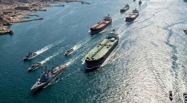
The "Persian Gulf Waterway Authority," established by Iran to regulate passages in the Strait of Hormuz, has announced the boundaries under its control in the strait.
CONTROL BOUNDARY AREAS ANNOUNCED
The "Persian Gulf Waterway Authority" published the control boundary areas of the Strait of Hormuz via its official account on the social media platform of the US-based company X.
According to this, the said control area is defined as the region between the Mubarak Mountain area in Iran and the Southern Fujairah line in the United Arab Emirates (UAE) to the east of the Strait of Hormuz, and the line between Qeshm Island in Iran and Umm al-Quwain in the UAE to the west.
Iran's Islamic Revolutionary Guard Corps Navy Command had specified the same boundaries in a map it published on May 4 regarding the areas it controls in the Strait of Hormuz.