24.04.2025 09:40
In Istanbul, a series of 8 earthquakes occurred within an hour, the largest of which had a magnitude of 6.2. Following the earthquakes, sources shared a seismic risk map that varies by district. In the city, which is under the influence of the North Anatolian Fault Line, the European side is particularly highlighted as a risky area.
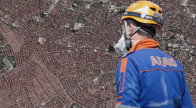
Istanbul was shaken by consecutive earthquakes. The first earthquake, measuring 3.9, was reported to be off the coast of Silivri. Following this earthquake, there was another severe earthquake off the coast of Silivri. AFAD announced the magnitude of the second earthquake as 6.2 and warned against entering risky buildings. Later, there were 184 aftershocks, the largest of which was 5.9.
ISTANBUL IS LOCATED ON THE NORTH ANATOLIA FAULT LINE
After the earthquakes, citizens began to question the risk level in their regions. Experts and official sources shared the earthquake risk map, which varies by district. Istanbul is located on the North Anatolia Fault Line, and this fault line particularly extends off the coast of Kumburgaz. Therefore, a large part of the districts in Istanbul carries a 1st and 2nd degree earthquake risk. The risk varies depending on proximity to fault lines and soil structure.
DISTRICTS ON THE EUROPEAN SIDE ARE RISKY
Especially in the districts on the European side, there is a significant risk. Avcılar, Küçükçekmece, Bakırköy, Beylikdüzü, Zeytinburnu, Fatih, Bahçelievler, and Güngören are among the first-degree risky areas. On the Anatolian side, Kadıköy, Üsküdar, Ataşehir, Ümraniye, Maltepe, Kartal, Pendik, Sultanbeyli, Sancaktepe, Tuzla, and the Islands are highlighted as high-risk districts. It is emphasized that caution is needed in these districts in terms of both soil structure and building density.
WHICH DISTRICTS IN ISTANBUL ARE MORE RISKY
European Side: Avcılar, Küçükçekmece, Bakırköy, Beylikdüzü, Güngören, Zeytinburnu, Bahçelievler, Fatih
Anatolian Side: Kadıköy, Üsküdar, Ataşehir, Ümraniye, Maltepe, Kartal, Pendik, Sultanbeyli, Sancaktepe, Tuzla, Islands
THE STRONGEST AND RISKIEST AREAS IN ISTANBUL
Relatively Strong Areas (good inner sections):
- Şile, Çekmeköy, Beykoz
- Kadıköy, Ataşehir, Sultanbeyli, Sancaktepe (high areas)
- Maltepe, Pendik, Kartal (inner sections)
Weak Soil, Risky Areas (coastal and landfill areas):
- Büyükçekmece, Küçükçekmece, Avcılar
- Zeytinburnu, Esenler, Bağcılar, Fatih
- Beylikdüzü, Bakırköy, Güngören, Esenyurt